Recharge Mapping: | 1 COUNCIL OF GOVERNMENTS CENTRAL NAUGATUCK VALLEY RECHARGE MAPPING: A GIS‐ based tool for identifying areas of land with significant groundwater recharge September 2009 Prepared in…
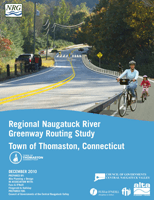
Naugatuck River Greenway Routing Study: Thomaston
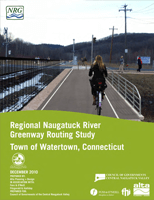
Naugatuck River Greenway Routing Study: Watertown
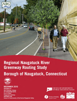
Naugatuck River Greenway Routing Study: Naugatuck
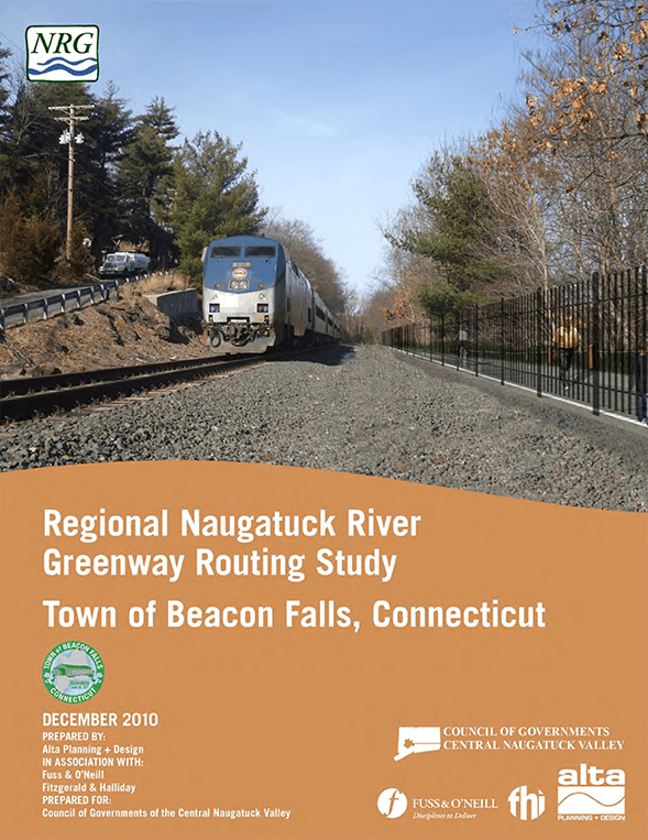
Naugatuck River Greenway Routing Study: Beacon Falls
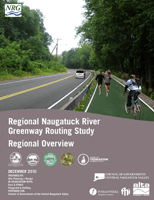
Naugatuck River Greenway Routing Study: Overview
NVCOG Annual Report 2015 – 2016
New NVCOG Study Outreach to Include Five Workshop Opportunities and Online Survey
For Immediate Release:February 26, 2018 Contact: Mark Nielsen Naugatuck Valley Council of Governments 203-757–0535mnielsen@nvcogct.org New NVCOG Study Outreach to Include Five Workshop Opportunities and Online Survey Study to Determine Effective…
PRESS RELEASE: Save the Sound receives funding for wetland restoration in NYC and culvert assessments in CT
Follow this link to view the release via Save the Sound: https://www.savethesound.org/ 2021/12/08/press–release–save–the–sound–receives–funding–for–wetland–restoration–in–nyc–and–culvert–assessments–in–ct/ Total of more than $714K in grant funding will help build coastal and riverine resilience for wildlife […]
NVCOG Annual Report 2017 – 2018
https://nvcogct.gov/wp–content/uploads/2018/10/4–66r–SFY2018–RSG–NVCOG–Annual–Report–Final–10–01-2018.pdf
Existing Conditions Report
https://nvcogct.gov/wp–content/uploads/2019/05/Final–Existing–Conditions–Report–10–25–18.pdf
NVCOG Metropolitan Transportation Plan 2019-2045
MET R OPOLITAN TRANSPORTA T ION PLAN 2019 – 2045 1 Title: Metropolitan Transportation Plan for the Naugatuck Valley Planning Region: 2019 –2045 Author: Naugatuck Valley Council of Governments Date:…

