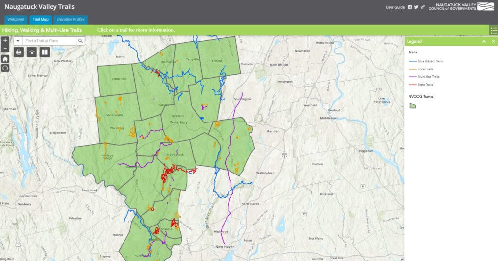
This interactive map explores the recreational trail network that is in or passes through the Naugatuck Valley region. Types of trails include walking trails or paths, hiking trails, nature trails, and multi-use (any combination of walking, biking, rollerblading, cross-country skiing, or horseback riding) trails.
A key feature is the Elevation Profile that charts the change in elevation over the course of a trail.
Click on the image below to open the Naugatuck Valley Trails viewer.
Please read the State of Connecticut’s Department of Energy and Environmental Protection’s (DEEP) recreational trail use guide for safe trail use.
Thank you to the local organizations and land trusts for helping us grow our recreational trail network.
Additional Resources
Visit our page on the Naugatuck River Greenway.
Find more information on the Farmington Canal Heritage Trail.
View the statewide Connecticut Forest & Park Association Trail Map.
Check other regional trails in the Northwest Hills and South Central regions.
Check out the longest hiking-only trail in the world. The Appalachian Trail.
We are always looking to add to our trail network so if you know of a trail we are missing or have a point of interest to add, please let us know.