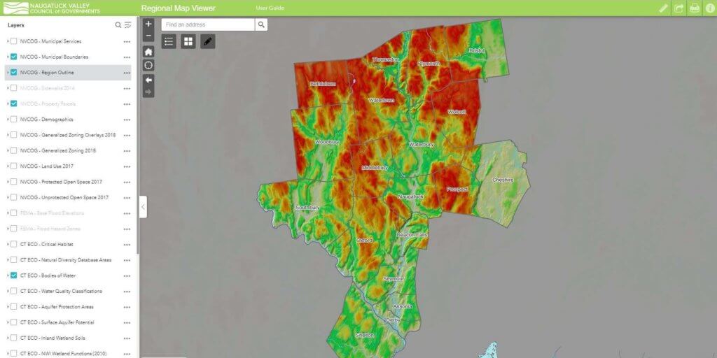
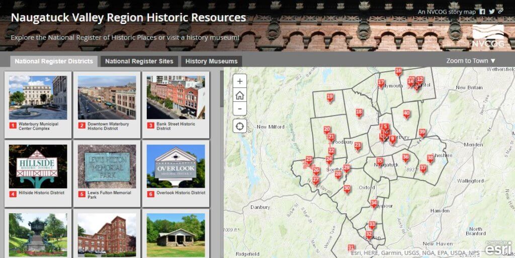
Welcome to NVCOG Maps & Data!We design maps, create applications, and manage spatial data for our regional municipalities, the public, and our regional partners. Municipal Parcel ViewersAccess a parcel viewer that shows local property assessment information, zoning, environmental, planimetric data and more. Regional Map ViewerProvides access to general parcel data, zoning, land use, and open space. It also includes FEMA flood data and environmental data from CTECO Interactive MapsThese web applications highlight current projects, demographic data and regional infrastructures. Printable PDF MapsPoints of Interest guides, Land Use, and Open Space maps. Data DownloadDecennial Census data to download. External Mapping ResourcesExplore links to other mapping resources. Please contact us if you would like a custom map, data, or to discuss a project. We would love to hear from you! Glenda Prentiss, GISPGIS Program Coordinatorgprentiss@nvcogct.gov203-489-0370 Richard Crowther JrSenior GIS Analystrcrowther@nvcogct.gov203-489-0366