Source: Watch for Me CT World Day of Remembrance is a worldwide event, now in its 30th year, that honors and acknowledges the many people killed by cars. Last year […]
Showing results for world news cassano new york times today conn cassano
New Interactive Map Highlights Current TIP Projects
NVCOG recently completed a new online interactive Story Map which presents the location, details, and funding for current Transportation Improvement Projects (TIP) in the NV region. Check it out here….
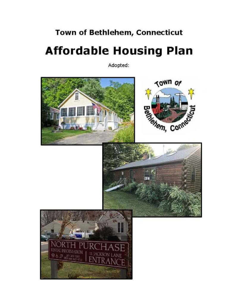
Town of Bethlehem Prepares a New Affordable Housing Plan
2025-2028 TIP/STIP
The Transportation Improvement Program is the most important way that local elected officials set the direction of federal transportation spending. The next TIP, which covers federal fiscal years 2025-2028 will begin on October 1st, 2024, and is currently available for the public to review and comment before the MPO boards act to endorse them.
Naugatuck River Greenway Unified Signage and Wayfinding Design Manual
Uniform Signage and Wayfinding Design Manual Prepared by Milone & MacBroom For the Naugatuck Valley Council of Governments November 2016 NRG SIGNAGE DESIGN MANUAL | ii Project Team: Naugatuck Valley…
Traffic Congestion Memo: Route 10
BEACON FALLS • BETHLEHEM • CHESHIRE • MIDDLEBURY • NAUGATUCK • OXFORD • PROSPECT • SOUTHBURY • TH OMASTON • W ATERBURY • W ATERTOWN • WOLCOTT • W OODBURY…
PRESS RELEASE: VTD2GO Micro Transit Service Rolls Out on April 1st.
Students Walk for Safety
WATERBURY — When snow plows mound snow on curbs, some Naugatuck Valley Community College students find themselves walking on busy Chase Parkway to reach their campus. At any time of…
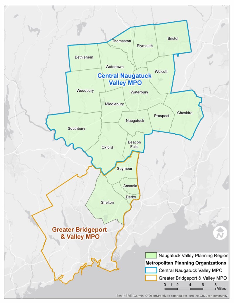
NVCOG Publishes Regional Housing Profile to Aid Naugatuck Valley Towns in Affordable Housing Planning
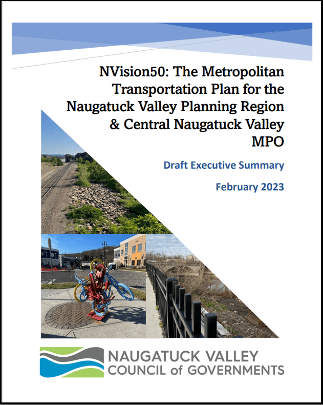
NVCOG Releases Draft Executive Summary of Updated Metropolitan Transportation Plan
NVision Corridor Conference 2016
On Thursday, January 28, 2016 key decision makers, the business community, economic development professionals, community organizations, and more joined Mayor Neil M. O’Leary at the Palace Theater in Waterbury to…
External Mapping Resources
State and Federal GIS Data Sources CT Geodata Portal The Mission of the Geospatial Data Portal is to provide high-quality geospatial data for Connecticut data practitioners across all sectors and…


