State and Federal GIS Data Sources CT Geodata Portal The Mission of the Geospatial Data Portal is to provide high-quality geospatial data for Connecticut data practitioners across all sectors and…
History
Historic Overview Pursuing game along several of its rivers and many tributaries, Native American tribes hunted in the area that is now the Naugatuck Valley Region. A European trading post…
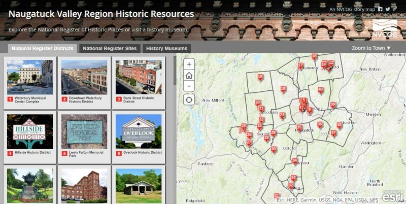
Naugatuck Valley Region Historic Resources Storymap Back Online
Naugatuck Valley Council of Governments Receives Grant to Develop Regional Open Space Inventory
New Interactive Map Highlights Current TIP Projects
NVCOG recently completed a new online interactive Story Map which presents the location, details, and funding for current Transportation Improvement Projects (TIP) in the NV region. Check it out here….
Route 229 Virtual Meeting
NVCOG is conducting an onboard survey of the Waterbury Branch Line service starting September 19, 2017
The survey will be conducted September 19, 20, 21. This survey can also be completed online here until the end of October: http://nvcogct.org/content/survey
NEWS RELEASE: Governor Lamont Announces Launch of CTParks.com: A Cutting-Edge Website Showcasing Connecticut State Parks
PRESS RELEASE: Upcoming Webinar on Middlebury’s Trash Reduction Pilot
CT Rides Hosts “Drive Less” Challenge
PRESS RELEASE: The NVCOG is Hosting a Backyard Composter and Rain Barrel Sale at the Seymour Community Center
Active Transportation Plan Virtual Public Meeting
The Naugatuck Valley Council of Governments (NVCOG) will be hosting a virtual public meeting to gather input for the development of the Naugatuck Valley Active Transportation Plan (NVATP). Residents, business…


