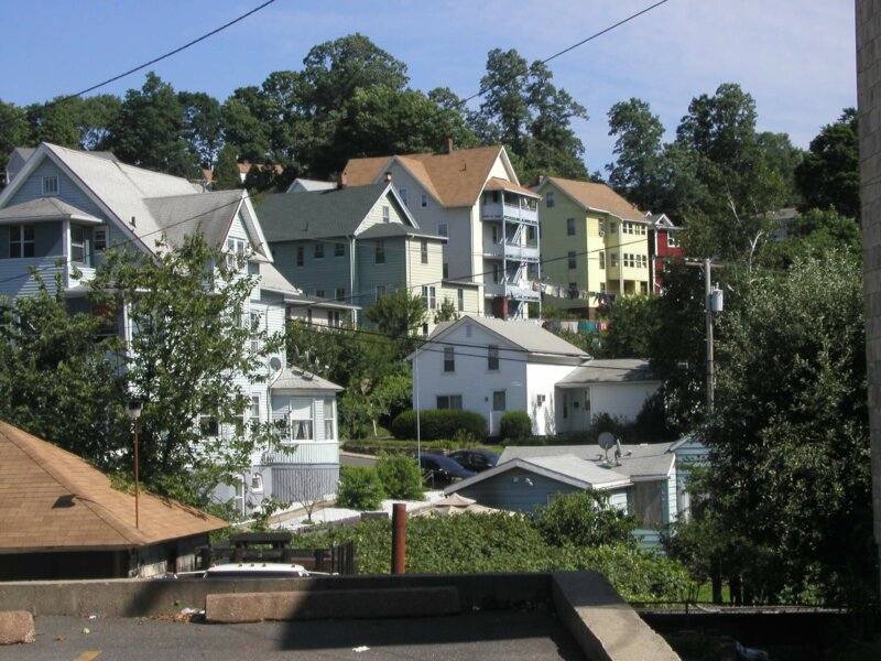
The NVCOG completed the organization’s first Regional Housing Profile (RHP) in 2022. The Regional Housing Profile compiles data from all 19 communities in the region to create a regional overview of housing trends and provide strategies for improving housing stock and housing affordability.
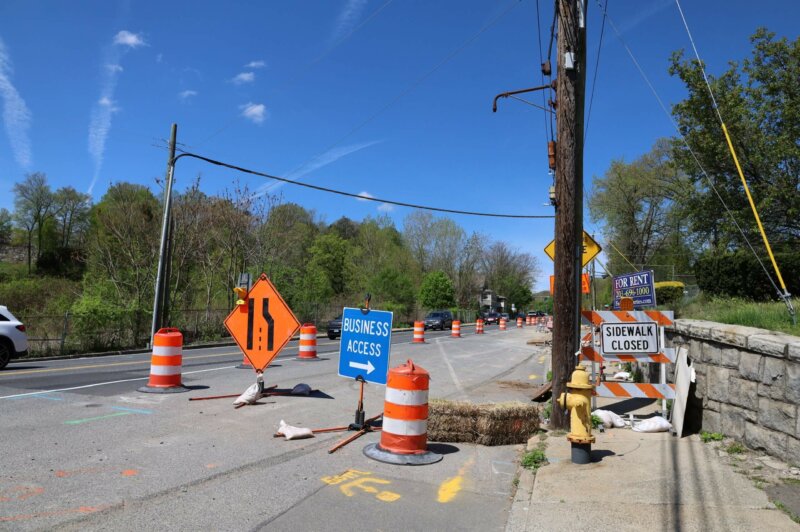
Route 67 Seymour – Spot Improvements
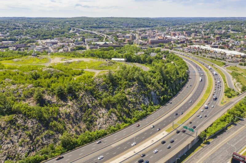
Route 8 & Waterbury Branch Line Corridor/Alternative Modes Study
NRG Thomaston – Watertown Design & Construction
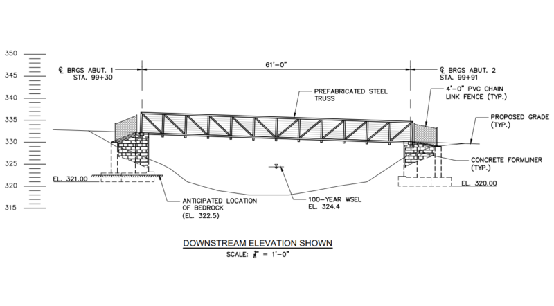
The Towns of Thomaston and Watertown received a federal Recreational Trails Program grant through the CT Department of Energy and Environmental Protection to design and construct a trailhead parking area and short section of Naugatuck River Greenway (NRG) trail in Thomaston and to design critical features along the future NRG route in Watertown.
Request for Proposals (RFP) – RBP Environmental Assessment Services Short List Only – Berlin 161 Massirio Drive
The Naugatuck Valley Council of Governments intends to select one (1) firm, currently a member of the RBP Short List, to conduct a Phase II Environmental Site Assessment with remedial…
Summary PM 2.5 Air Quality Conformity Determination May 2017
https://nvcogct.gov/wp–content/uploads/2017/05/Summary–PM–2.5–Air–Quality–Conformity–Determination–May–2017.pdf
GBV LRTP TIP PM 2.5 Air Quality Emission Results Summary October 2016
https://nvcogct.gov/wp–content/uploads/2016/10/GBV–LRTP–TIP–PM2.5–AQ–Emission–Results–Summary–2016–10.pdf
GBV LRTP TIP Ozone Air Quality Emission Results Summary October 2016
https://nvcogct.gov/wp–content/uploads/2016/10/GBV–LRTP–TIP–Ozone–AQ–Emission–Results–Summary–2016–10.pdf
Metro Hartford Region Bike Share Plan (includes Waterbury)
https://nvcogct.gov/wp–content/uploads/2014/07/Metro–Hartford–Bikeshare–Full–Report.pdf
CNV LRTP TIP PM 2.5 Air Quality Emission Results Summary October 2016
https://nvcogct.gov/wp–content/uploads/2016/10/CNV–LRTP–TIP–PM2.5–AQ–Emission–Results–Summary–2016–10.pdf
web map
A map that is not simply on the web, but rather one that is powered by the online GIS technologies.
urban area
A United States Census Bureau–defined geographic area of contiguous census block groups with a population density of at least 1,000 people per square mile.


