A map that is not simply on the web, but rather one that is powered by the online GIS technologies.
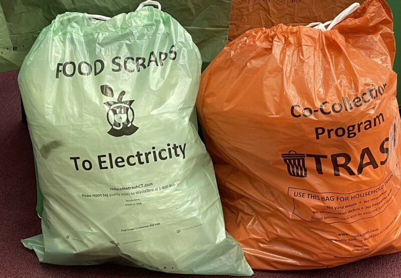
News Release: Seymour to Start Trash Reduction Pilot Program with 1,100 Households
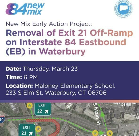
Public Information Meeting Scheduled for New Mix Early Action Project
Naugatuck Valley Regional Profile 2014
Naugatuck Valley Regional Profile Naugatuck Valley R e g i o n a l P r o f i l e 2 0 1 4 September 2014 A Report by…
Naugatuck Valley Regional Profile 2015
Naugatuck Valley Regional Profile 2018
November 2018 A Report by T h e N a u g a t u c k Va l l e y Council of Governments Naugatuck Valley R e g…
Annual Reports
2024 NVCOG Annual Report February 2024The Naugatuck Valley Council of Governments (NVCOG) strives to implement and create programs and projects that better align the Naugatuck Valley to a changing […]
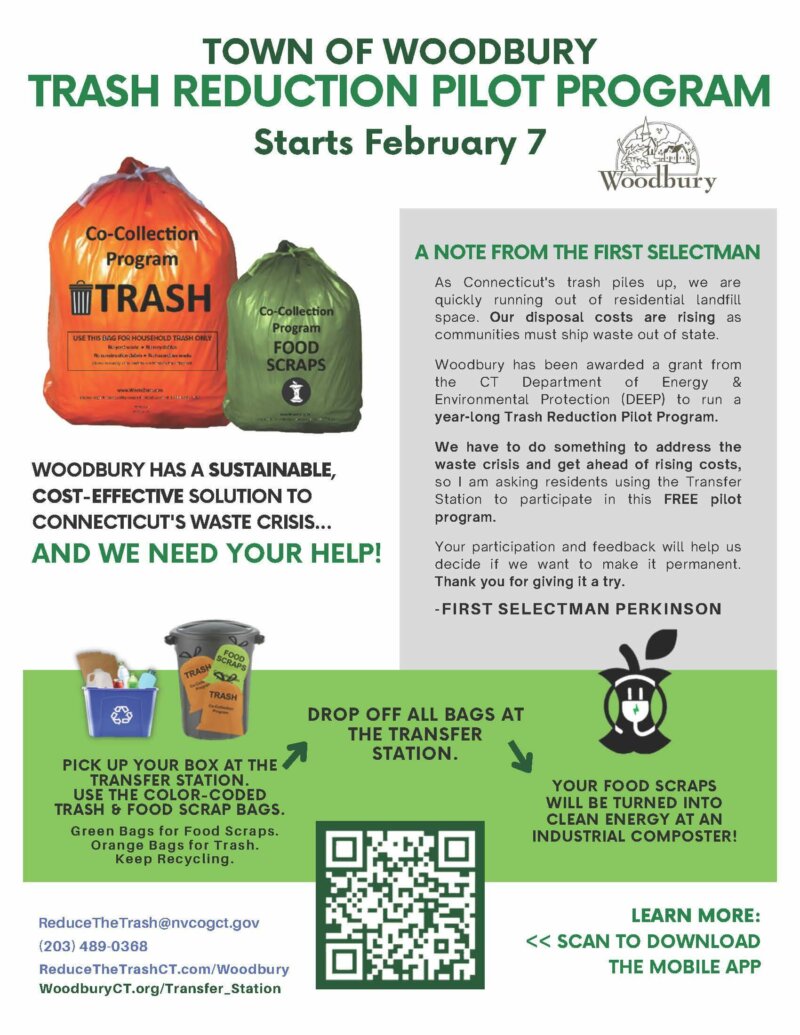
Woodbury to Start Trash Reduction Pilot Program
COGCNV Helping Dam Owners Comply With New Dam Safety Regulations
It’s About Dam Time: Removing Kinneytown Dam to Restore Fish Passage and Advance Environmental Justice
Application to NOAA’s Restoring Fish Passage through Barrier Removal Funding Opportunity under the IIJA Additional Supplemental Materials Storymap: The Effort to Restore Migratory Fish to the Naugatuck River…
Brownfields Program
What is a brownfield? According to the EPA, a brownfield is a property where the expansion, redevelopment, or reuse may be complicated by the presence or potential presence of hazardous substances, pollutants, or contaminants. Many brownfield sites…
Land Use
NVCOG serves nineteen municipalities who make local land use decisions that balance ecological, social, and economic factors. Explore how planning and zoning serve as crucial tools, influencing the quality of…


