| Page FY 2016 ‐ 2017 Unified Planning Work Program for the Greater Bridgeport & Valley MPO – Valley Planning Region Portion Prepared by the: Naugatuck Valley Council of Governments…
External Mapping Resources
State and Federal GIS Data Sources CT Geodata Portal The Mission of the Geospatial Data Portal is to provide high-quality geospatial data for Connecticut data practitioners across all sectors and…
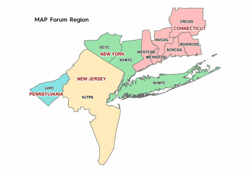
PUBLIC NOTICE – 2023 MAP Forum Fall Meeting
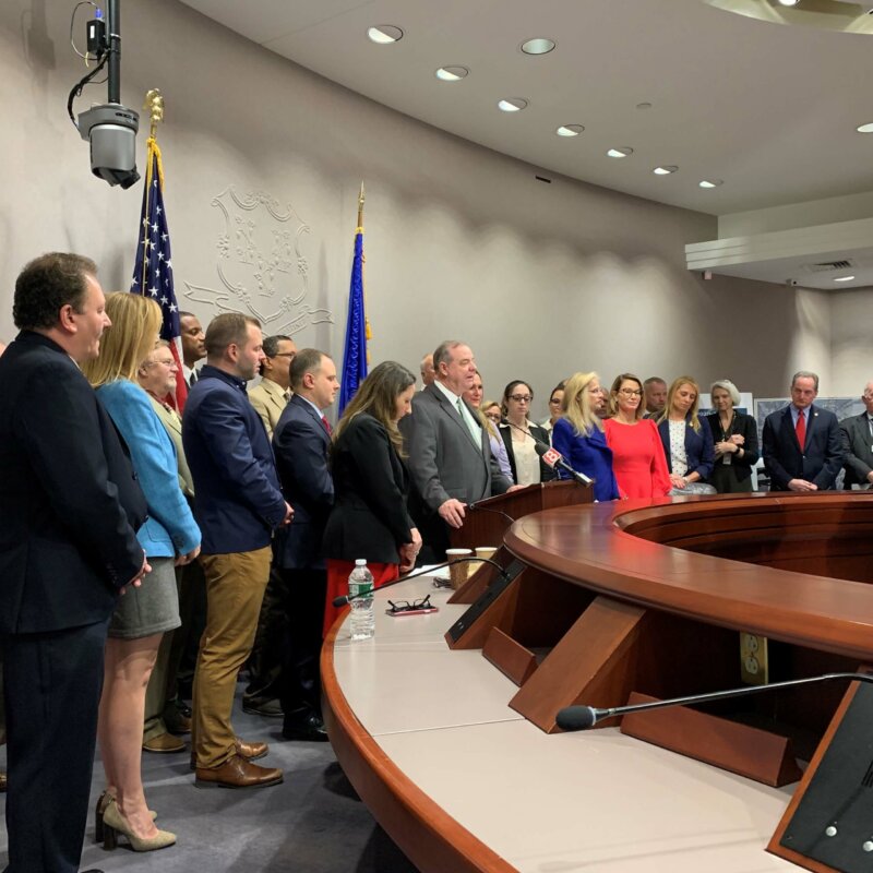
NVCOG CEOs Support Rail Line Legislation
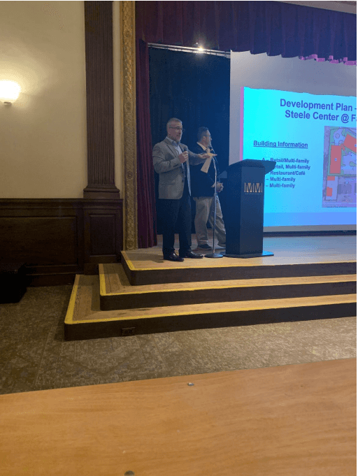
Regional Brownfields Partnership Showcases Redevelopment at Annual Meeting
PUBLIC NOTICE: Connecticut Department of Transportation Virtual Public Information Meeting
News 8 Coverage of Naugatuck Valley Rail Conference
Regional Trails
This interactive map explores the recreational trail network that is in or passes through the Naugatuck Valley region. Types of trails include walking trails or paths, hiking trails, nature trails,…
Your Transit & Civil Rights
Title VI of the Civil Rights Act of 1964 states: “No pers on in the United States shall, on the grounds of race, color, or national origin, be excluded from […]
Glossary
Lingo can be daunting for the uninitiated in any field or industry. Here, we untangled some of the acronyms, abbreviations and terms you’ll find on our web pages and in…
Privacy Statement
At the Naugatuck Valley Council of Governments (NVCOG), we are committed to protecting your personal privacy and ensuring a secure online experience. You can navigate most of our site without…
Accessibility Statement
The Naugatuck Valley Council of Governments is committed to making its electronic and information technologies accessible to individuals with disabilities. Our organization is actively working to increase the accessibility and…


