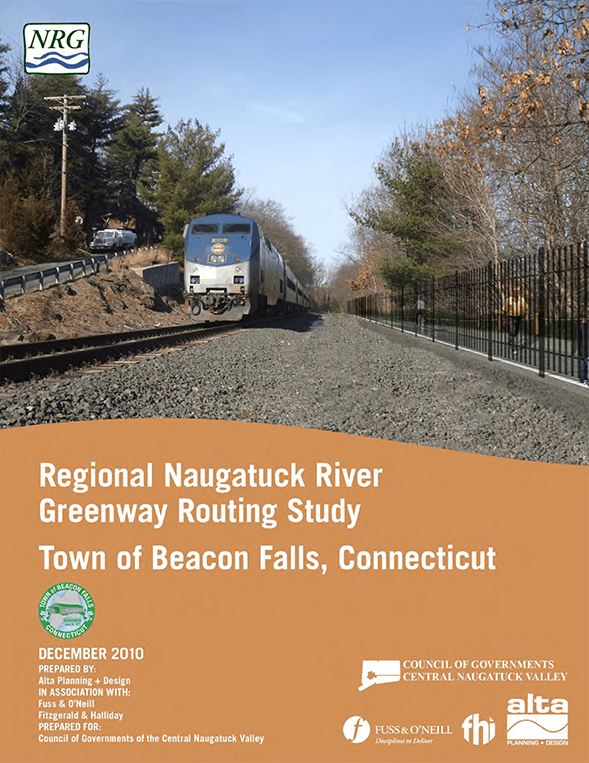
https://nvcogct.gov/wp–content/uploads/2014/03/COGCNV–Naugatuck–River–Greenway–Routing–Study–Beacon–Falls_0.pdf
NVCOG MTP 2019–2045 Executive Summary
https://nvcogct.gov/wp–content/uploads/2019/03/NVCOG–MTP–Executive–Summary_Final–V2.pdf
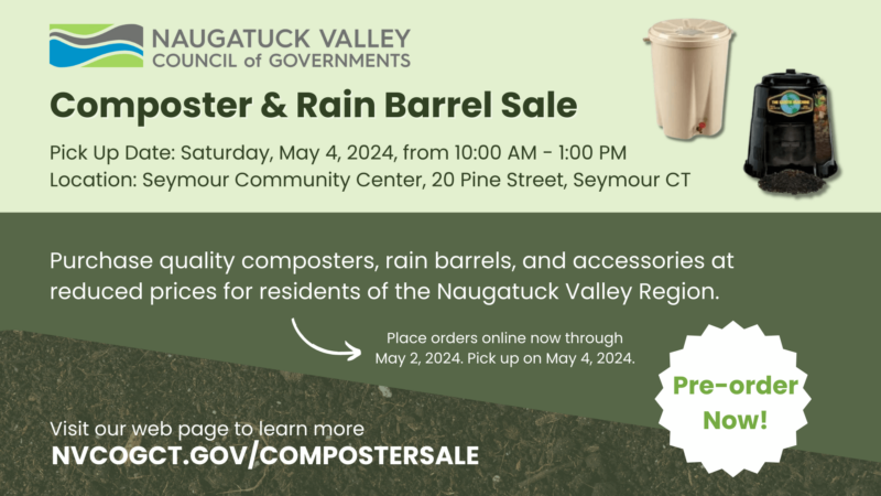
PRESS RELEASE: The NVCOG is Hosting a Backyard Composter and Rain Barrel Sale at the Seymour Community Center
PRESS RELEASE: New Haven County Releases Draft Priority Climate Action Plan for Public Comment
The Connecticut Trail Census Releases 2017 Multi–use Trail Data
The Connecticut Trail Census (CTTC), a program tracking use on multi -use trails statewide, has released publicly available data for the 2017 calendar year on their website http://www.cttrailcensus.uconn.edu/. The CTTC […]
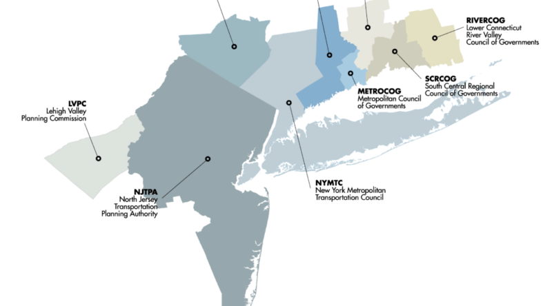
MAP Forum Annual Meeting – December 7, 2017 at 1:30 p.m. in Lower Manhattan.
Ways to Respond to the 2020 Census
We’re Hiring: Temporary GIS Planning Assistant
NVCOG Annual Report 2017 – 2018
https://nvcogct.gov/wp–content/uploads/2018/10/4–66r–SFY2018–RSG–NVCOG–Annual–Report–Final–10–01–2018.pdf
Naugatuck River Greenway
The Naugatuck River Greenway (NRG) is an officially designated Connecticut State Greenway, consisting of the open and green spaces along the Naugatuck River. Greenways are corridors of open space that…
History
Historic Overview Pursuing game along several of its rivers and many tributaries, Native American tribes hunted in the area that is now the Naugatuck Valley Region. A European trading post…
External Mapping Resources
State and Federal GIS Data Sources CT Geodata Portal The Mission of the Geospatial Data Portal is to provide high -quality geospatial data for Connecticut data practitioners across all sectors and…

