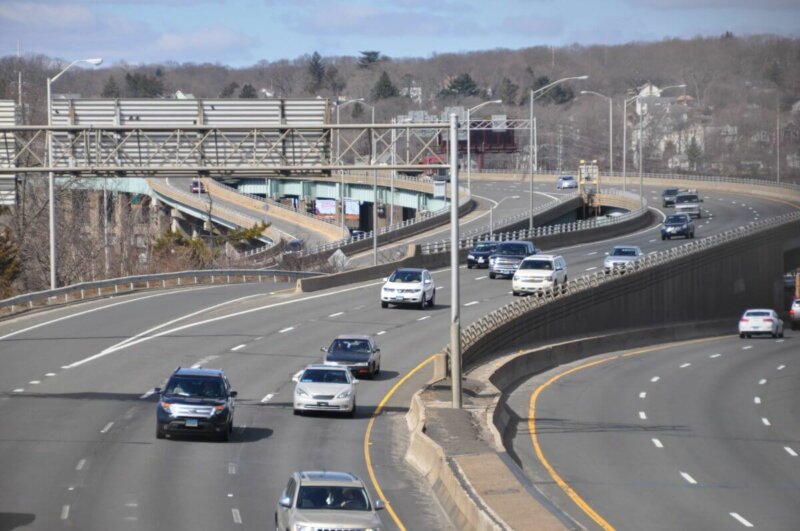
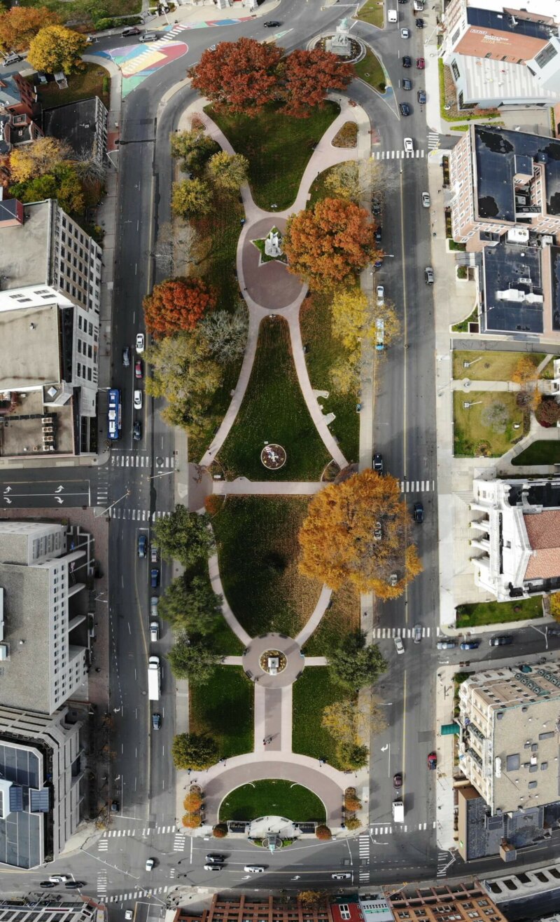
An opportunity to turn data and public input into a 25 -year vision for transportation in the NVCOG Region. Updating Our Plan The public outreach period for the Metropolitan Transportation […]
Regional Open Space Inventory
Congestion Management System Report: 2008
https://nvcogct.gov/wp–content/uploads/2014/03/COGCNV–CMS–2008–report.pdf
Invitation for Bid (IFB) – Traffic Counting Equipment Purchase
The Naugatuck Valley Council of Governments wants to acquire traffic counting equipment that will permit the organization to meet the following requirements: collect speed data, collect vehicle counts, collect data…
Naugatuck River Greenway Project Priorities
https://nvcogct.gov/wp–content/uploads/2016/07/NRG–Section_Priorities_2015_10_23_0.pdf
Traffic Congestion Memo: Route 63 and Route 64
https://nvcogct.gov/wp–content/uploads/2014/03/COGCNV–Congestion–Route–63–64–memo–2013.pdf
Annual Report 2012
https://nvcogct.gov/wp–content/uploads/2016/01/COGCNV–Annual–Report–2012_0.pdf
Community Relations Plan (17–19 Henry Healey Drive, Ansonia)
https://nvcogct.gov/wp–content/uploads/2016/07/ANSO_17–19HenryHealeyDrive_ABCACRP_2016_07_08.pdf
CNV Transportation Improvement Program (TIP) 2018–2021
https://nvcogct.gov/wp–content/uploads/2018/07/CNVR–TIP–Draft–compressed.pdf
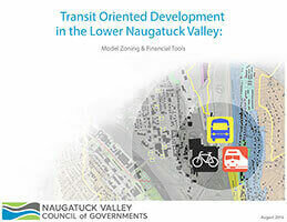
Transit Oriented Development in the Lower Naugatuck Valley
web map
A map that is not simply on the web, but rather one that is powered by the online GIS technologies.


