The Cross-Boundary Benefits of Open Space
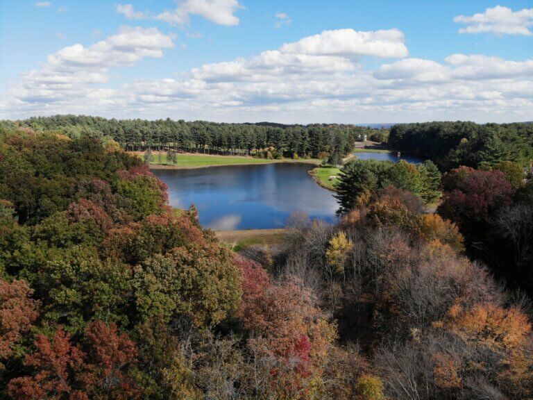
The benefits of Open Space naturally cross municipal boundaries. For example, a Waterbury resident may drive to Middlebury to use the greenway, or an individual in Shelton may commute through Oxford’s farmland on the way to work. A need exists to understand exactly what Open Space exists in the region, the degree to which it is accessible and protected, and to identify areas lacking this important amenity.
Defining and Inventorying Open Space
Creating this inventory is a complex task that goes beyond data aggregation, as defining Open Space presents its own challenge. Some municipalities adhere to a strictest definition, considering only municipally-owned, perpetually-protected land, while others include diverse areas like historic sites, equipped playgrounds, privately owned farms, and more. Collecting and standardizing this data is a substantial endeavor, often surpassing the capabilities of most resource-constrained local governments.
Collaborative Approach to Data Collection
Deliverables
Project Duration
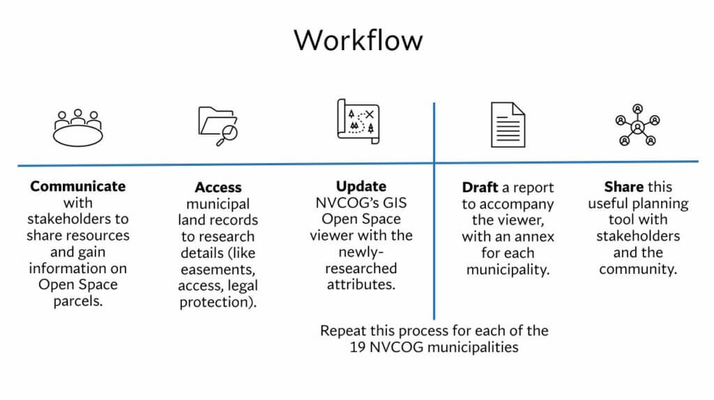
COG staff has finalized the contract for this grant, and is in the process of engaging our stakeholders. See below for our anticipated workflow.
Stay Tuned for Updates
As the project progresses, staff will provide ongoing updates and insights into the development of the Regional Open Space Inventory.
Public Involvement Process
- Stakeholder Kickoff, 12/4/23: press release – flyer – slides – recording
Please send any outreach ideas or requests to Christine O’Neill at coneill@nvcogct.gov.
Stay Updated on Social Media
In addition to this website, NVCOG staff will keep you up-to-date regarding the project’s status and progress on NVCOG’s social media platforms, which include Facebook, Twitter, and LinkedIn.
Read our two-page project explainer here.
Our Partners
These dedicated partners stand alongside NVCOG in the mission to enhancing accessibility and protection of Open Space in the region.
- U.S. Forest Service (grantors)
- Municipalities, land trusts, and water companies
Related Resources
Explore these valuable resources to gain insights into regional Open Space efforts and initiatives.