Regional Open Space Inventory

The U.S. Forest Service awarded NVCOG a grant to research and catalog priority Open Space parcels across the region. The major deliverable of this project will be a GIS map layer of OS with detailed attributes including ownership, acreage, level of legal protection, public access status, and more.

Regional Flood Resilience

CT DEEP’s Climate Resilience Fund awarded NVCOG a grant to develop and advance culvert replacement and drainage system improvement projects in nine municipalities. This regional effort aims to reduce stormwater flooding, repair infrastructure, and incorporate elements of LID. Deliverables will include a preliminary designs and draft grant applications for federal implementation funding.

Tree Canopy Assessment

The U.S. Forest Service awarded NVCOG a grant to assess, map, and characterize tree cover across the region. A robust tree cover mitigates high temperatures, filters air pollution, and can improve property values and quality of life in urban areas.

VMT Reduction Strategy

A common measure of transportation system performance is vehicle miles traveled (VMT), which looks at the total number of miles driven by personal cars across a given area. A reduction in VMT typically yields benefits for congestion, air quality, and can help reduce costs for drivers.

Active Transportation Plan

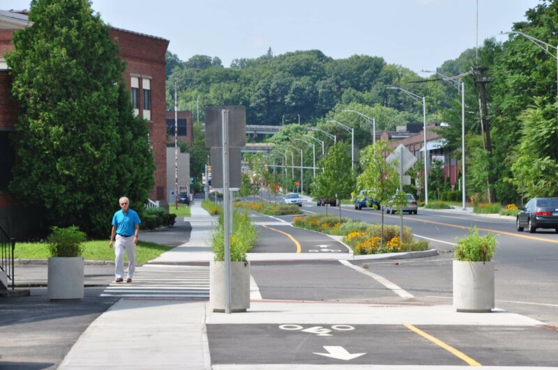
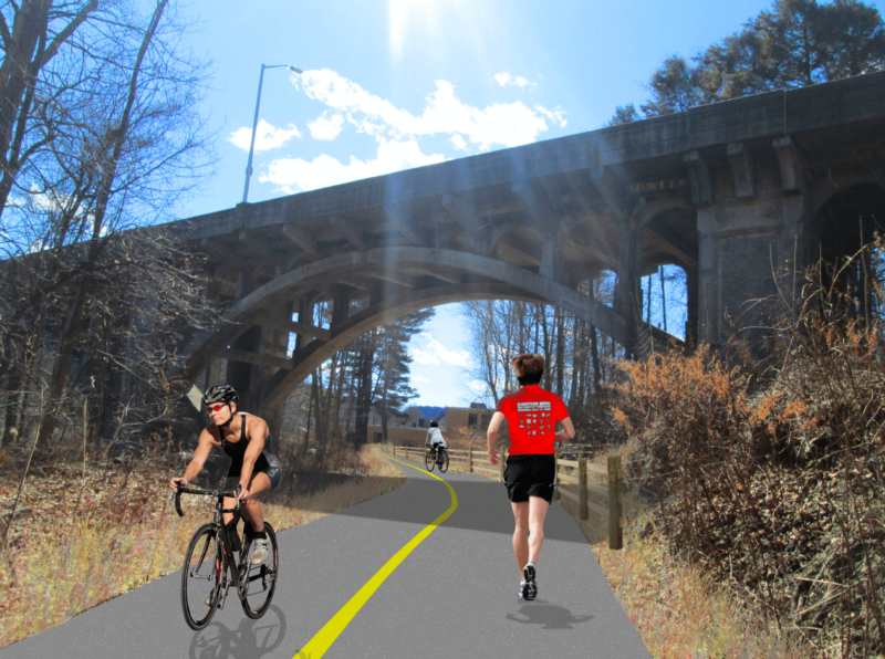
The NVCOG is developing the Active Transportation Plan to enhance walking, rolling, and cycling and to advance mobility equity in the Naugatuck Valley Region.

Take the survey today!

Climate Pollution Reduction Grants (CPRG)

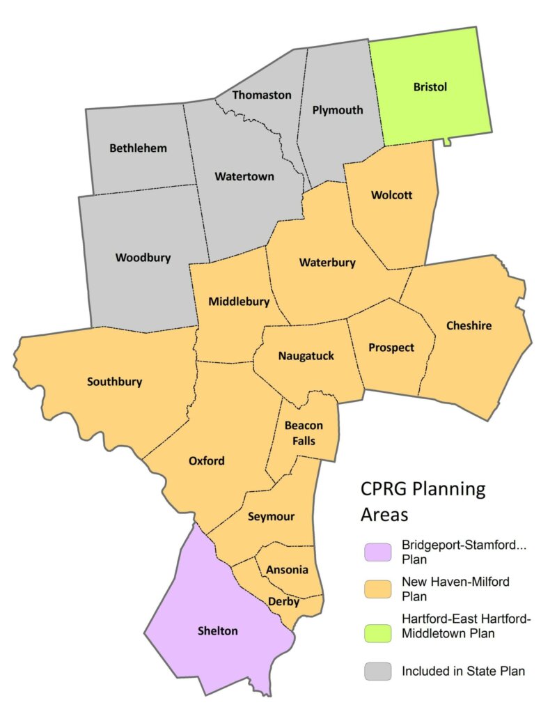
The Climate Pollution Reduction Grants (CPRG) are a five-billion-dollar federal program to help state and regional governments reduce greenhouse gases. NVCOG towns are split among several planning regions, each of which is conducting its own GHG assessment and planning GHG reduction measures.

MTP 2050

NVision50: The Metropolitan Transportation Plan for the NVCOG and the Central Naugatuck Valley MPO lays out a comprehensive vision for transportation in our region leading up to 2050.

Kinneytown Dam Removal

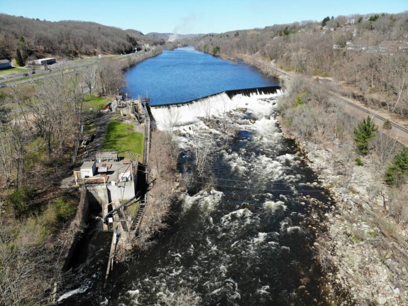
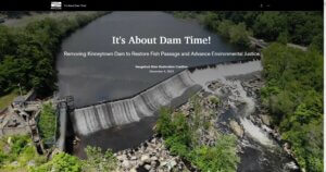
For nearly two centuries, migratory fish have been blocked from most of the Naugatuck River by Kinneytown Dam in Seymour.  That continues today, with the facility no longer producing electricity and serving no useful purpose.  Now, a project is underway led by NVCOG in partnership with Save the Sound to remove Kinneytown Dam.  Removal will open miles of restored habitat to shad, alewife, lamprey, river herring and other anadromous fish, and will also reduce flood risk, remove a safety concern and eyesore, and reconnect communities to recreational opportunities along the Naugatuck River.    

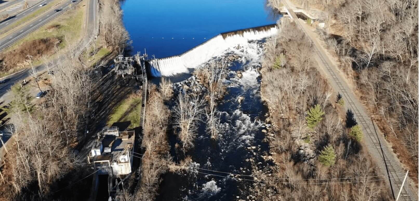
Kinneytown Dam and Fish Ladder
Kinneytown Dam and Fish Ladder, Seymour, CT

After the longstanding failure of a fish ladder at Kinneytown Dam came to light in 2019, the Naugatuck River Restoration Coalition was formed to advocate for the restoration of fish passage on the Naugatuck River. Consisting of NVCOG, the Naugatuck River Revival Group, and Save the Sound, the Coalition has worked with state and federal regulatory agencies to shed light on the failure to pass fish as required by Kinneytown Dam’s federal license exemption and encouraging the dam owner to remedy the situation.    

It has become clear that restoring hydroelectric generation while providing safe, timely and effective fish passage at Kinneytown Dam is not economical, and removal of the dam is the only way to fully restore fish passage at the site.   In partnership with Save the Sound, NVCOG applied for and received funding through the NOAA Restoring Fish Passage Through Barrier Removal grant program under the Bipartisan Infrastructure Law (BIL) in 2022 for the acquisition and decommissioning of the facility, and for the design and construction work leading to the dam’s removal.  The project is supported by municipal leaders, state and federal regulatory agencies, the CT federal delegation, environmental advocates, and the current dam owner.   

The Coalition has developed an Interactive Story Map to explain the issue. Project details will be continually added here and on the Story Map, so please check back often!

Questions & Answers

View questions from the community and answers from the project team.

8/28/24 Public Meeting

Watch the video recording of the first public meeting held at the Ansonia Senior Center on August 28, 2024, 

Explore the Issue

This interactive storymap details the effort to restore migratory fish to the Naugatuck River, the longstanding issues at Kinneytown, and the current plan to remove the dam. 

NVCOG FERC Docket Filings:

You can find a full annotated timeline of FERC docket P-6985 filings HERE

Staff Contact:

Aaron Budris
Environmental Planning Director
abudris@nvcogct.gov

Regional Hazard Mitigation Plan Update

The final Regional Hazard Mitigation Plan and Municipal Annexes have been posted to the NVCOG Hazard Mitigation Plan webpageThe Plan has been adopted by all 19 NVCOG Communities, and the NVCOG Board endorsed the plan on December 10, 2021.  FEMA approved the plan in January, 2022.  

In 2019, NVCOG received funding from the Federal Emergency Management Agency (FEMA) to conduct a multi-jurisdictional Natural Hazard Mitigation Plan (NHMP) for all 19 NVCOG municipalities. 

An approved NHMP is required by FEMA to qualify a municipality for certain federal mitigation funding. NHMPs must be updated every 5 years. The purpose of this project is to update municipal NHMPs and develop a consolidated multijurisdictional plan for the entire Naugatuck Valley planning region in compliance with FEMA standards and requirements that will serve as the approved NHMP for each NVCOG municipality. 

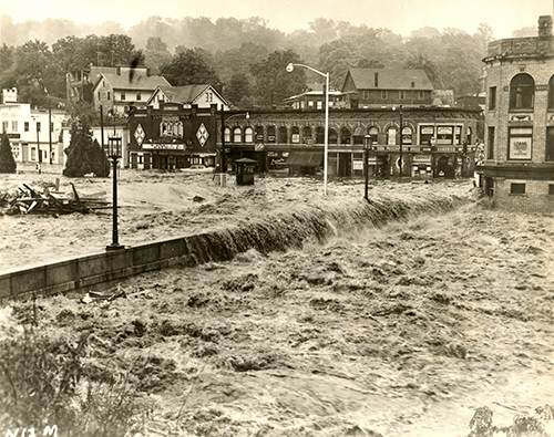
Naugatuck River flooding in 1955

The NHMP will identify natural hazards and risks, existing capabilities, and activities that can be undertaken by a community to prevent loss of life and reduce property damages associated with the identified hazards. Public safety and property loss reduction are the driving forces behind this plan. Careful consideration will also be given to the preservation of history, culture and the natural environment of the region. 

Milone & MacBroom Inc. (MMI) was selected to serve as the project consultant. MMI has extensive experience developing NHMPs in the region and across the state.  NVCOG is administering the project and has prepared a detailed scope of work in collaboration with MMI. The project is expected to take 18 months and will include extensive public and stakeholder outreach and coordination with various municipal officials and departments.

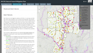
Interactive Storymap:  

Click on the tabs at the top of the Project Storymap and scroll through the narrative to learn about hazards impacting the region and view topical maps.

Meetings and Workshops:

Public Information Meeting 8/4/2021
Recording
 
Public Workshop #2: Mitigation 
Recording
Slides
 
Coordinator Workshop #2: Mitigation
Recording
Slides
 
Public Workshop #1: Risk 
Slides
 
Coordinator Workshop #1: Risk
Recording 
Breakout Room Recording
Slides
 
Project Kickoff Meeting
Slides

Upcoming Meetings:

[ecs-list-events cat=’regional-natural-hazard-mitigation-plan’ limit=’2′ excerpt=”false” description=”false” venue=’false’]

View Full Calendar

Staff Contact:  

Aaron Budris
Environmental Planning Director
abudris@nvcogct.gov