A $23.1 million federal Rebuilding American Infrastructure with Sustainability and Equity (RAISE) grant the City of Waterbury received includes funding for long-overdue improvements that will revitalize West Main Street between the Waterbury Green and Riverside Drive, making it more comfortable for active transportation users, safer for drivers, and a more appealing urban street.
The grant, awarded by the US Department of Transportation, will also extend the Naugatuck River Greenway from its current terminus at Eagle Street to West Main Street, providing for recreation and active transportation between the South End and Downtown.
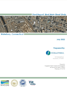
The City is currently progressing design of West Main Street to meet the goals and objectives of the RAISE application and the West Main Study. The final report of the NVCOG West Main Street Study, linked below, will help to guide the project as it advances.
Project Overview
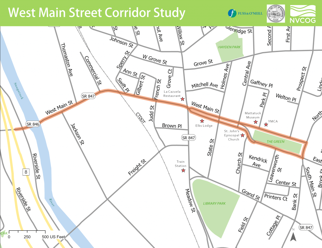
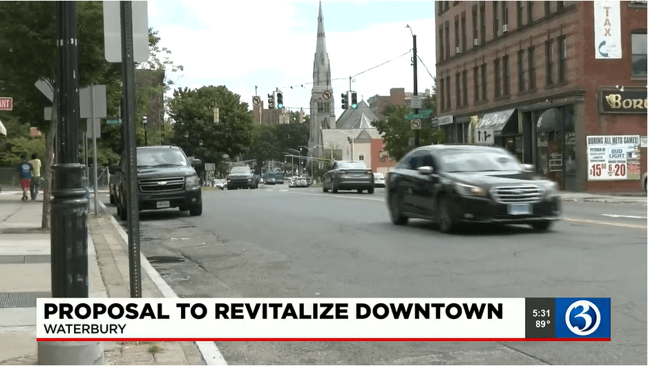
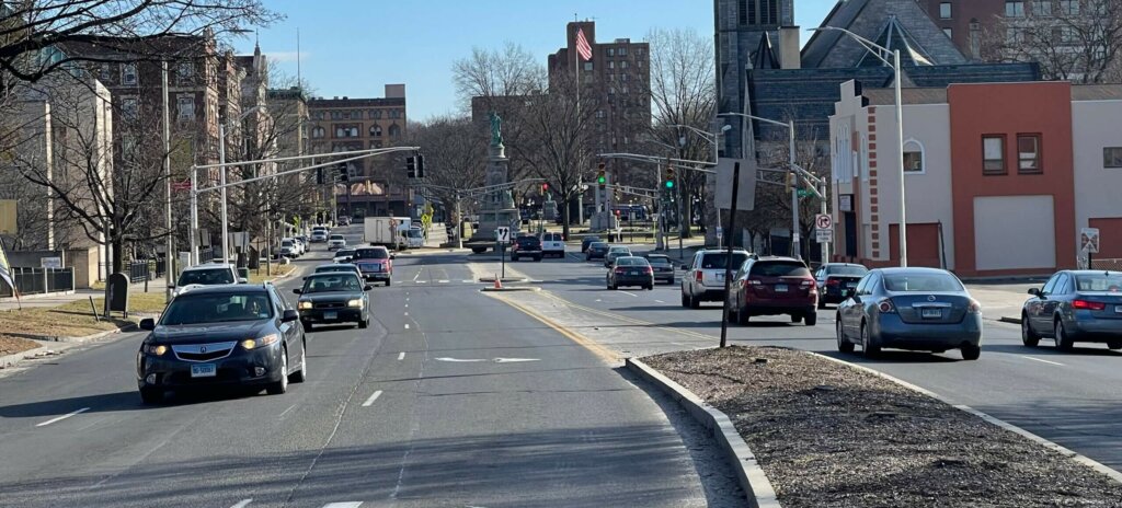
West Main Street is a short but much-used corridor that connects downtown Waterbury with parts of the city that are on the west side of the Naugatuck River. But as important as it is, West Main Street also has issues that make using it a challenge for motorists, pedestrians, cyclists and transit users. The road surface is deteriorating, and the width varies significantly between two lanes in some areas to as much as six in others. For pedestrians, crossing West Main Street can be difficult.
A complete streets approach has guided planning for upcoming work, which will include realigning intersections, narrowing parts of the road, rehabilitating existing sidewalks and building new ones, putting in bicycle lanes, and traffic calming strategies. Eyewitness News Channel 3 covered the story and interviewed NVCOG Director of Planning Josh Lecar.