An opportunity to turn data and public input into a 25–year vision for transportation in the NVCOG Region. Updating Our Plan The public outreach period for the Metropolitan Transportation Plan…
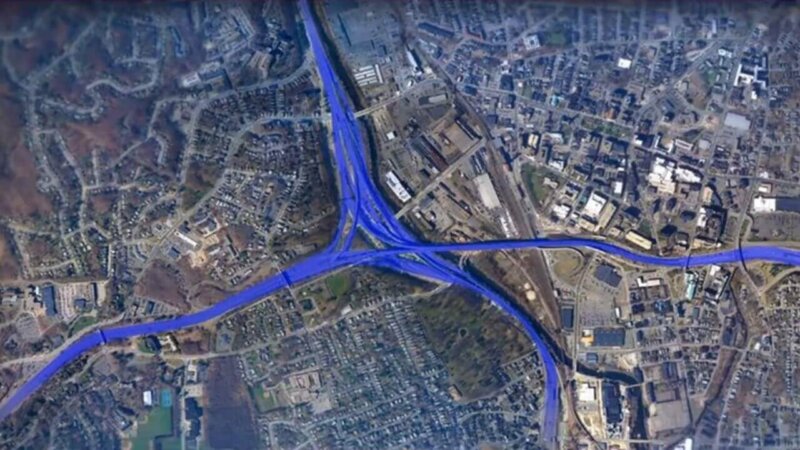
Interstate 84/ Route 8 New Mix
SGA Complete Streets Academy
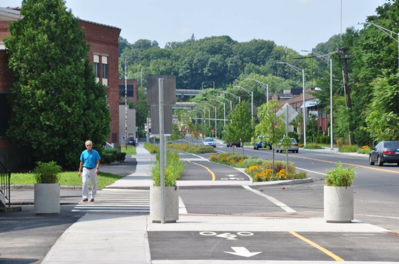
Active Transportation Plan
GBV LRTP TIP PM 2.5 Air Quality Emission Results Summary October 2016
https://nvcogct.gov/wp–content/uploads/2016/10/GBV–LRTP–TIP–PM2.5–AQ–Emission–Results–Summary–2016-10.pdf
GBV LRTP TIP Ozone Air Quality Emission Results Summary October 2016
https://nvcogct.gov/wp–content/uploads/2016/10/GBV–LRTP–TIP–Ozone–AQ–Emission–Results–Summary–2016-10.pdf
CNV LRTP TIP PM 2.5 Air Quality Emission Results Summary October 2016
https://nvcogct.gov/wp–content/uploads/2016/10/CNV–LRTP–TIP–PM2.5–AQ–Emission–Results–Summary–2016-10.pdf
Metro Hartford Region Bike Share Plan (includes Waterbury)
https://nvcogct.gov/wp–content/uploads/2014/07/Metro–Hartford–Bikeshare–Full–Report.pdf
Request for Proposals (RFP) – RBP Environmental Assessment Services Short List Only – Berlin 161 Massirio Drive
The Naugatuck Valley Council of Governments intends to select one (1) firm, currently a member of the RBP Short List, to conduct a Phase II Environmental Site Assessment with remedial…
Summary PM 2.5 Air Quality Conformity Determination May 2017
https://nvcogct.gov/wp–content/uploads/2017/05/Summary–PM–2.5–Air–Quality–Conformity–Determination–May–2017.pdf
web map
A map that is not simply on the web, but rather one that is powered by the online GIS technologies.
urban area
A United States Census Bureau–defined geographic area of contiguous census block groups with a population density of at least 1,000 people per square mile.


