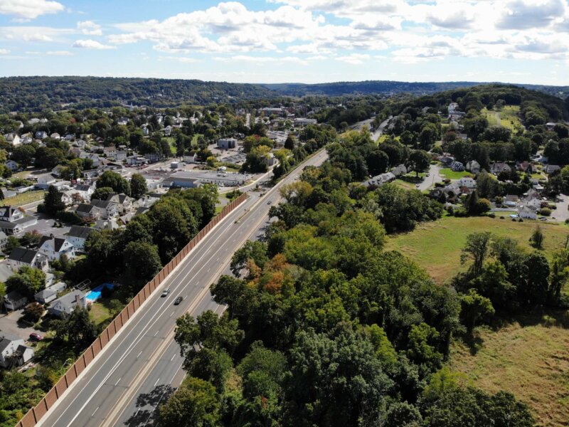
The U.S. Forest Service awarded NVCOG a grant to assess, map, and characterize tree cover across the region. A robust tree cover mitigates high temperatures, filters air pollution, and can improve property values and quality of life in urban areas.
Waterbury Residential Street Traffic Calming Study
CNV Transportation Improvement Program (TIP) 2018–2021
https://nvcogct.gov/wp–content/uploads/2018/07/CNVR–TIP–Draft–compressed.pdf
Naugatuck River Greenway Routing Study: Executive Summary
CNVR Profile 2013
https://nvcogct.gov/wp–content/uploads/2014/03/COGCNV–Regional–Profile–2013.pdf
Annual Report 2012
https://nvcogct.gov/wp–content/uploads/2016/01/COGCNV–Annual–Report–2012_0.pdf
bituminous
Containing bitumen, any of various mixtures of hydrocarbons (such as tar) often together with their nonmetallic derivatives that occur naturally or are obtained as residues after heat–refining natural substances (such…
POCD
Plan of Conservation and Development (Regional) – is a guidance document that sets policy priorities for the future of the region and its communities and is required by the State…
CLEAR
The Center for Land Use Education and Research provides information, education, and assistance to land use makers, in support of balancing growth and natural resource protection. You can find more…
open space
Any open piece of land set aside for preserving natural communities, protecting water quality, providing outdoor recreation, and offering green spaces for all residents. Parcels can be undeveloped or have…
web map
A map that is not simply on the web, but rather one that is powered by the online GIS technologies.


