Background
The U.S. Forest Service awarded NVCOG a grant to assess, map, and characterize tree cover across the region.
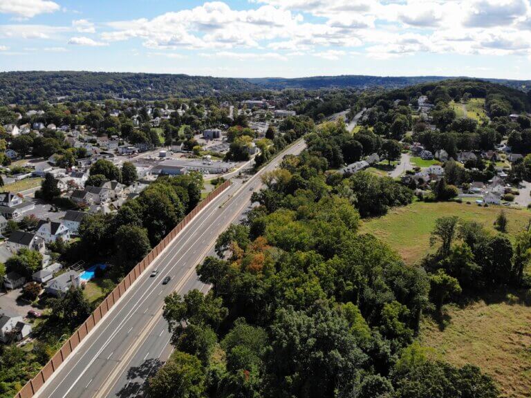
Tree cover reduces air temperature, filters air pollution, and can improve property values and quality of life in urban areas. The final deliverables of this project will include a regional report with municipal annexes, a story map, and recommendations to improve tree cover.
In addition to these assessments, learn more about why increasing tree cover is priority for the Lamont administration.
Improving Tree Cover in the NVCOG region
The purpose of the Naugatuck Valley Tree Canopy Assessment is to characterize the existing tree cover in the Naugatuck Valley region, develop a GIS (Geographic Information Systems) layer of the data, identify opportunities for improvement, and provide individual reports to each of our municipalities.
Collaborative Approach
NVCOG plans to use the services of the Spatial Analysis Laboratory (SAL) at the University of Vermont’s Rubenstein School of the Environment and Natural Resources to perform the assessment and to calculate tree canopy change metrics. UCONN’s Urban Community Forestry Educator will partner with SAL to perform an in-depth environmental justice assessment of tree canopy equity.
Deliverables
SAL will use Connecticut spring 2023 LiDAR data along with the 2023 NAIP leaf-on aerial imagery to create a seven-class landcover raster data set and a tree canopy change raster data set. This data will then be summarized by various geographies and a narrative description of tree cover across each NVCOG municipality, along with charts and other graphics that show assessment findings. Results of the assessment will be available through an interactive, informational web mapping application, and the municipal reports will be published on the NVCOG website.
Project Duration
COG staff has finalized the contract for this grant, and is in the process of executing Memorandum of Understanding (MOU) with our partners.
Stay Tuned for Updates
As the project progresses, staff will provide ongoing updates and insights into the development of the Tree Canopy Assessment page. Be sure to check back for a more comprehensive and detailed timeline.
Public Involvement Process
The NVCOG team is currently developing a public engagement process to ensure reaching a broad audience with this project. Please send any outreach ideas or requests to Christine O’Neill at coneill@nvcogct.gov.
Stay Updated on Social Media
In addition to this website, NVCOG staff will keep you up-to-date regarding the project’s status and progress on NVCOG’s social media platforms, which include Facebook, Twitter, and LinkedIn.
Our Partners
Similar Projects
Staff Contact:
Christine O’Neill
Environmental Planner II
coneill@nvcogct.gov