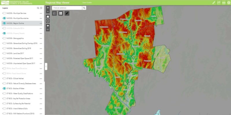
Provides access to general parcel data, zoning, land use, and administration boundaries. It also includes FEMA flood data and environmental data from CTECO.
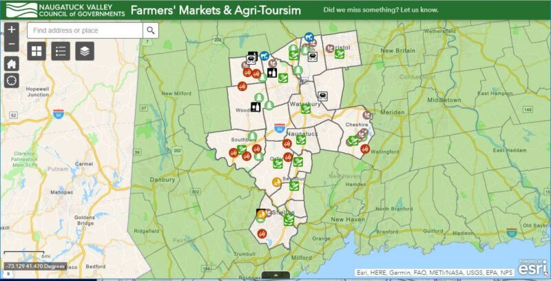
Farmers’ Markets & Agri-Tourism
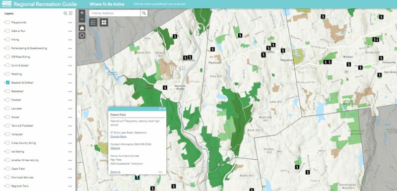
Regional Recreation Guide
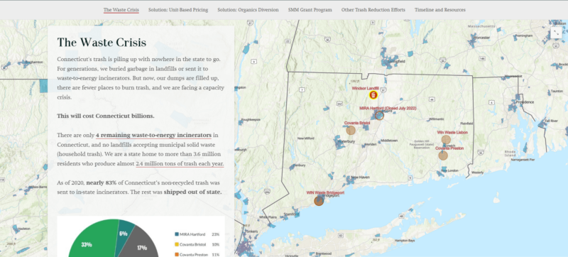
We are in a Waste Crisis
Adventuring through Our Region
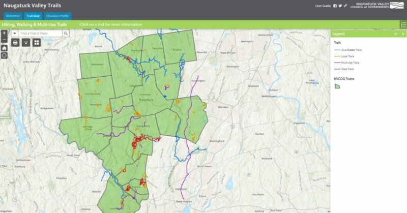
Regional Trails
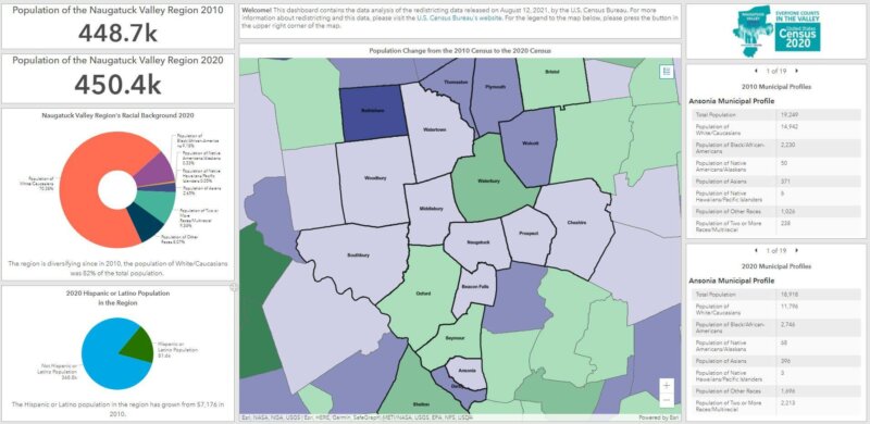
2020 Census Redistricting Data Dashboard
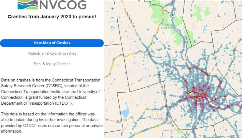
NVision Zero Crash Map
Bethlehem Land Use
This map was created using land use data derived from 2012 NAIP satellite imagery, 2012 leaf-off aerial photography (CTDEEP), Google Streetview 2015 and municipal assessor information.

