Click here to access the press release from the office of Governor Ned Lamont Published on March 25, 2024 (HARTFORD, CT) – Governor Ned Lamont and Transportation Commissioner Garrett Eucalitto today announced…
Showing results for pharmacy online store publicly www publicly com buy vicechair europe can canada publically
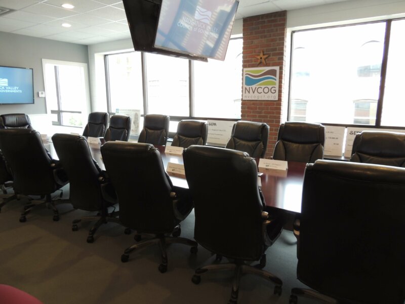
NVCOG Hosting Governor’s Council on Climate Change Stakeholder Event on July 26th at NVCC
The Governor’s Council on Climate Change (GC3) will hold a second round of stakeholder events on Tuesday, July 26th, 5:30pm-7:30pm (refreshments available at 5:00pm). RSVP at http://bit.ly/GC3-July26 The primary/central…
NVCOG Disadvantaged Business Enterprise (DBE) Goal Update
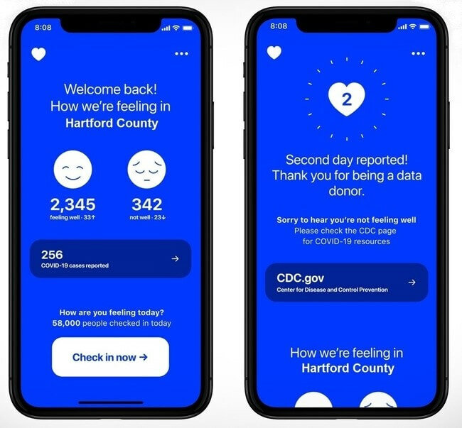
Governor Lamont Encourages Connecticut Residents to Use the “How We Feel” App to Improve COVID-19 Response
Public Hearing – DBE Goal Update
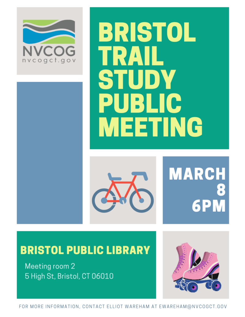
Bristol Seeks Public Input on Trail Study
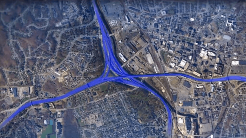
Public Meeting Planned on Waterbury New Mix Project
Public Hearing: South Central CT Regional Water District
Public Meeting on Derby-Shelton Bridge Rehabilitation Project Wednesday, April 18
For Immediate Release: Contacts: Mark Nielsen, Naugatuck Valley Council of Governments 203-757-0535 mnielsen@nvcogct.org PUBLIC MEETING…
Public Comment Period Has Opened for the Draft 2021-2024 CNVMPO TIP
Public Notice – MAP Forum announces November 1, 2017 Meeting of the Multi-State Freight Working Group
PUBLIC NOTICE The Metropolitan Area Planning (MAP) Forum announces the first meeting of its Multi-State Freight Working Group on November 1, 2017 at 10:00 am in Lower Manhattan. For security…
The Waterbury Area Transit Study (WATS) is available for public comment
The Waterbury Area Transit Study (WATS) is available for public comment. The WATS developed a list of short- and long-term recommendations to improve bus service in the greater Waterbury area….

