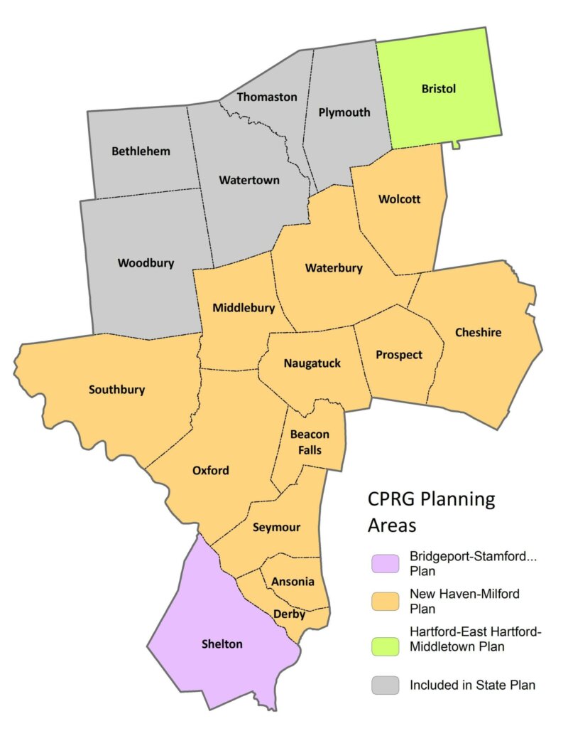
The Climate Pollution Reduction Grants (CPRG) are a five-billion-dollar federal program to help state and regional governments reduce greenhouse gases. NVCOG towns are split among several planning regions, each of which is conducting its own GHG assessment and planning GHG reduction measures.
MTP 2050
Regional Hazard Mitigation Plan Update
The final Regional Hazard Mitigation Plan and Municipal Annexes have been posted to the NVCOG Hazard Mitigation Plan webpage. The Plan has been adopted by all 19 NVCOG Communities, and the NVCOG Board endorsed the plan on December 10, 2021. FEMA approved the plan in January, 2022.
In 2019, NVCOG received funding from the Federal Emergency Management Agency (FEMA) to conduct a multi-jurisdictional Natural Hazard Mitigation Plan (NHMP) for all 19 NVCOG municipalities.
An approved NHMP is required by FEMA to qualify a municipality for certain federal mitigation funding. NHMPs must be updated every 5 years. The purpose of this project is to update municipal NHMPs and develop a consolidated multijurisdictional plan for the entire Naugatuck Valley planning region in compliance with FEMA standards and requirements that will serve as the approved NHMP for each NVCOG municipality.
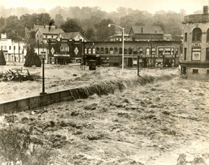
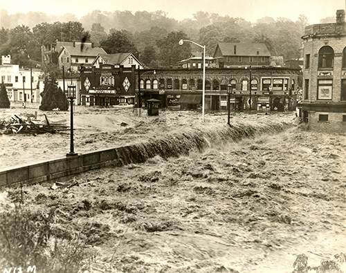
The NHMP will identify natural hazards and risks, existing capabilities, and activities that can be undertaken by a community to prevent loss of life and reduce property damages associated with the identified hazards. Public safety and property loss reduction are the driving forces behind this plan. Careful consideration will also be given to the preservation of history, culture and the natural environment of the region.
Milone & MacBroom Inc. (MMI) was selected to serve as the project consultant. MMI has extensive experience developing NHMPs in the region and across the state. NVCOG is administering the project and has prepared a detailed scope of work in collaboration with MMI. The project is expected to take 18 months and will include extensive public and stakeholder outreach and coordination with various municipal officials and departments.
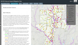
Interactive Storymap:
Click on the tabs at the top of the Project Storymap and scroll through the narrative to learn about hazards impacting the region and view topical maps.
Staff Contact:
Aaron Budris
Environmental Planning Director
abudris@nvcogct.gov

