For Immediate Release:
Contacts: Mark Nielsen, Naugatuck Valley Council of Governments
203-757-0535
mnielsen@nvcogct.org
PUBLIC MEETING ON DERBY-SHELTON BRIDGE REHABILITATION WEDNESDAY, APRIL 18
The Naugatuck Valley Council of Governments (NVCOG) will hold a public information meeting on the design of rehabilitation and enhancements to the Derby-Shelton Bridge over the Housatonic River on Wednesday, April 18, 2018. The meeting will begin informally at 6 p.m. with a formal presentation beginning at 6:30 p.m. in Shelton City Hall Auditorium, 54 Hill Street, Shelton and provide residents and stakeholders an opportunity to learn project details, including concept plans and project timeline, and provide input on the design. Anyone interested in the project is invited to attend.
The intent of the project is to create an aesthetically pleasing public space along the Derby-Shelton Bridge and provide an attractive gateway that is pedestrian and bicycle friendly to the downtown areas of Derby and Shelton. It is being designed by AECOM under contract to the NVCOG. Construction will be advertised and administrated by the Connecticut Department of Transportation (CTDOT).
The project will include:
• The replacement of bridge parapet walls; The new parapet will feature a solid concrete wall similar in design to the existing wall with decorative railings similar in style to railings in Veteran’s Memorial Park. The railing treatment and its placement along the parapet will provide safety, as well as aesthetically attractive sightlines.
• The removal of existing lighting and replacement with period style lights that both enhance the presence of the bridge at night and comply with dark sky guidelines.
• Roadway improvements will include new pavement and curbing and the shifting of the travel lanes to accommodate wider sidewalks on the south side of the bridge and a bi-directional cycle-track to separate bicyclists from both vehicle traffic and pedestrians.
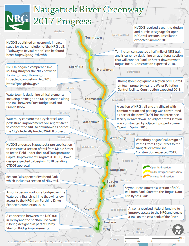
The project will also offer connectivity with the existing Housatonic Riverwalk trail network in Shelton and the Derby Greenway/Naugatuck River Greenway in Derby. The project limits will extend from the Bridge Street intersection with Main Street in Derby to the west end of the Derby-Shelton Bridge. It is currently expected that the design will be completed in early 2019, with construction following in the summer. While travel lanes will be shifted and may be narrowed, there will be no reduction in roadway capacity.
“The April 18 public information meeting will provide the Derby-Shelton community extensive information on the proposed bridge renovations,” said Mark Nielsen, NVCOG Director of Planning. “It will also allow residents and stakeholders an opportunity to provide input and comments on the project before it enters the final design phase.”
–End–