https://nvcogct.gov/wp–content/uploads/2015/07/VCOG–FY–2016–2017–UPWP.pdf
Public Meeting – DBE Goal Update
A public meeting will be held on Tuesday, August 23th at 5:30 p.m., at 49 Leavenworth Street, 3rd Floor, Waterbury, CT 06702.The public is welcome and encouraged to review and…
COGCNV Economic Development Strategic Plan 2000
https://nvcogct.gov/wp–content/uploads/2014/03/COGCNV–Economic–Strategic–Plan–2000.pdf
Regional Hazard Mitigation Plan Update
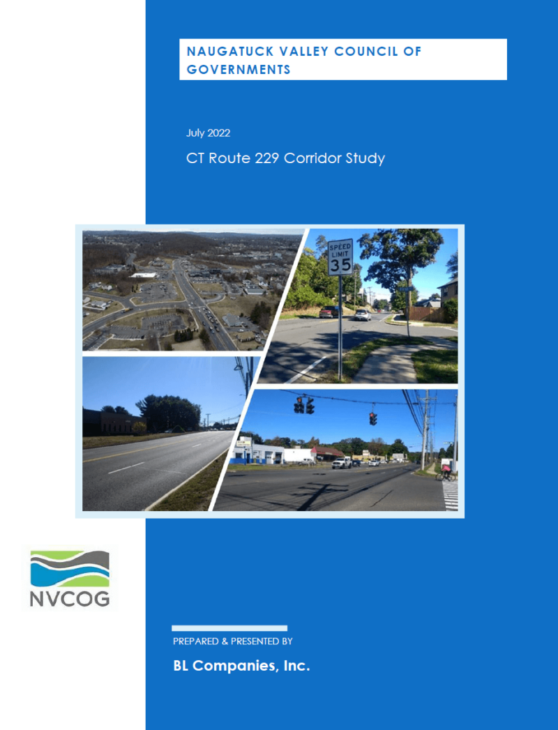
Route 229 Corridor Study
Politíca de justicia ambiental
https://nvcogct.gov/wp–content/uploads/2017/07/EnvironmentalJusticePolicy–es.pdf
Valley/GB Transportation Improvement Program (TIP) 2015–2018
https://nvcogct.gov/wp–content/uploads/2015/09/GBVMPO–2015–TIP–Final.pdf
Revolving Loan Fund
NVCOG Revolving Loan Funds Program Since 2005, NVCOG has been awarded over $11 million to capitalize a revolving loan fund (RLF) from which NVCOG provides loans and sub -grants to RBP municipal and non–municipal members…
NVCOG Approves Regional Long Range Transportation Plan
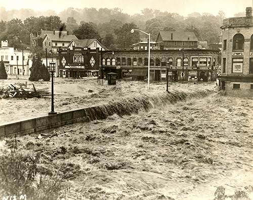
Hazard Mitigation Plans
Municipal Hazard Mitigation Plans (HMPs) identify natural hazards and risks, existing capabilities, and activities that can be undertaken by a community to prevent loss of life and reduce property damages…
Regional Hazard Mitigation Plan Documents
Multi–Jurisdictional Hazard Mitigation Document – Approved by FEMA Appendices Municipal Annexes – Approved by FEMA Ansonia Beacon Falls Bethlehem Bristol Cheshire Derby Middlebury Naugatuck Oxford Plymouth Prospect Seymour Shelton Southbury…
External Mapping Resources
State and Federal GIS Data Sources CT Geodata Portal The Mission of the Geospatial Data Portal is to provide high -quality geospatial data for Connecticut data practitioners across all sectors and…


