https://nvcogct.gov/wp–content/uploads/2014/03/COGCNV–Naugatuck–River–Greenway–Routing–Study–Thomaston.pdf
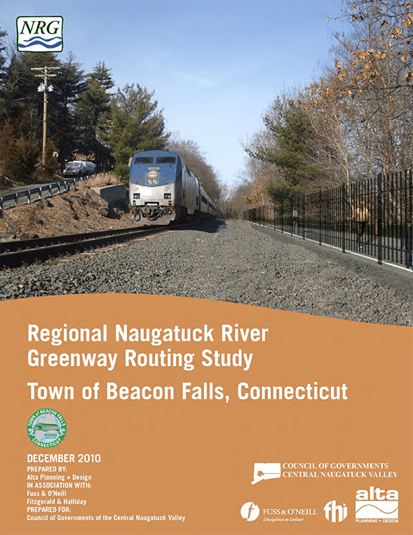
Naugatuck River Greenway Routing Study: Beacon Falls
Naugatuck River Greenway Routing Study: Naugatuck
NVCOG Annual Report 2017 – 2018
https://nvcogct.gov/wp–content/uploads/2018/10/4–66r–SFY2018–RSG–NVCOG–Annual–Report–Final–10–01–2018.pdf
Naugatuck River Greenway Routing Study: Watertown
Recharge Mapping – Identifying Groundwater
Recharge Mapp ing: | 1 COUNCIL OF GOVERNMENTS CENTRAL NAUGATUCK VALLEY RECHARGE MAPPING: A GIS‐ based tool for identifying areas of land with significant groundwater recharge September 2009 Prepared […]
NVCOG Metropolitan Transportation Plan 2019–2045
https://nvcogct.gov/wp–content/uploads/2019/03/NVCOG–MTP–DRAFT1–w–Appendices–20190222.pdf
PRESS RELEASE: Save the Sound receives funding for wetland restoration in NYC and culvert assessments in CT
Follow this link to view the release via Save the Sound: https://www.savethesound.org/2021/12/08/press -release–save–the–sound–receives–funding–for–wetland–restoration-in-nyc–and–culvert–assessments-in-ct/ Total of more than $714K in grant funding will help build coastal and riverine resilience for wildlife […]
New NVCOG Study Outreach to Include Five Workshop Opportunities and Online Survey
For Immediate Release:February 26, 2018 Contact: Mark Nielsen Naugatuck Valley Council of Governments 203–757–0535mnielsen@nvcogct.org New NVCOG Study Outreach to Include Five Workshop Opportunities and Online Survey Study to Determine Effective…
Regional Plan of Conservation and Development for the Central Connecticut Regional Planning Agency (CCRPA) 2013
1 P LA N 1 Contents Introduction ………………………….. ………………………….. ………………………….. ………………………….. ………………………….. ………………………….. …………………….. 2 General requirements ………………………….. ………………………….. ………………………….. ………………………….. ………………………….. ………………………….. …. 21 Levels of development intensity ……………………………..
Regional Plan of Conservation and Development 2008
https://nvcogct.gov/wp–content/uploads/2014/03/COGCNV–Regional–Plan–of–Conservation–and–Development–2008.pdf
Connecticut Conservation & Development Policies 2013
https://nvcogct.gov/wp–content/uploads/2014/03/COGCNV–Regional–Plan–of–Conservation–and–Development–2008_0.pdf


