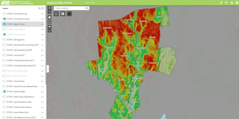
Provides access to general parcel data, zoning, land use, and administration boundaries. It also includes FEMA flood data and environmental data from CTECO.
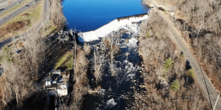
Kinneytown Dam Fish Passage
This interactive storymap details the effort to restore migratory fish to the Naugatuck River, and the current issues at Kinneytown Dam keeping fish from miles of …
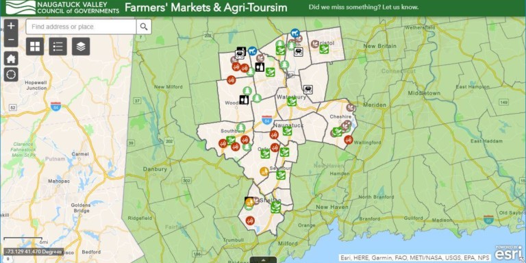
Farmers’ Markets & Agri-Tourism
Find local farmers’ markets, pick-your-own farms, community supported agriculture (CSA) farms or vineyards within the Naugatuck Valley region.
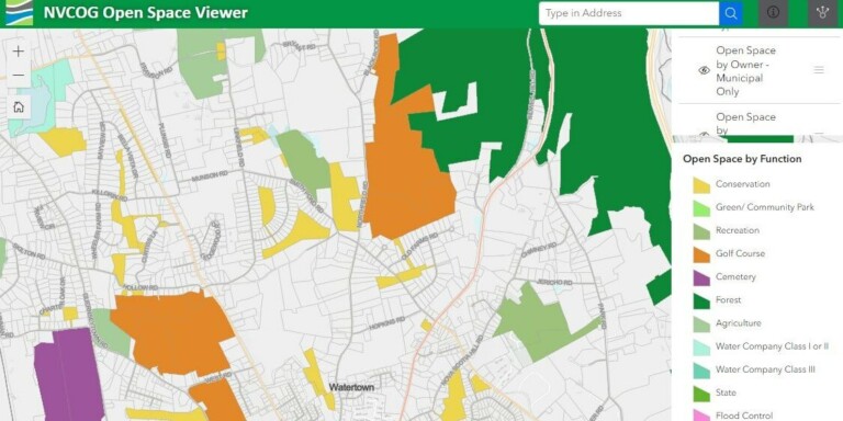
NVCOG Open Space Viewer
This viewer was developed to identify parcels in towns that need to be added or corrected while working on the regional open space database.
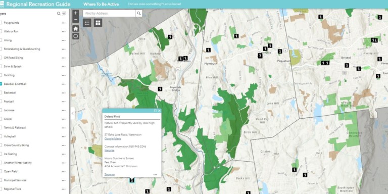
Regional Recreation Guide
Where to be active! A web app to find local facilities designed for one of over 20 types of outdoor activities to promote a healthy …
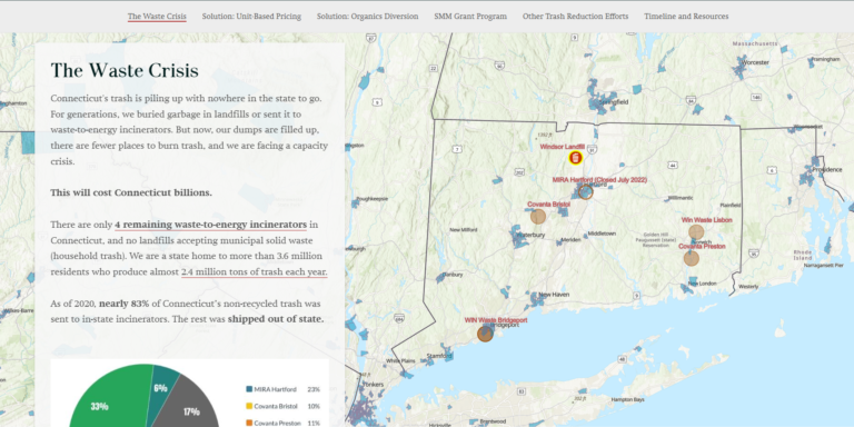
We are in a Waste Crisis
Connecticut’s trash is piling up with nowhere in the state to go. This story map shares the options that residents and municipalities can take to …
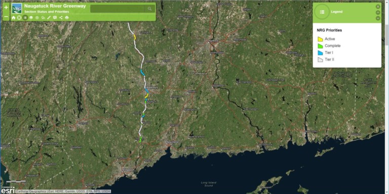
Naugatuck River Greenway Status
This map highlights the status of the various sections of the Naugatuck River Greenway project. It shows proposed, active, and completed sections.
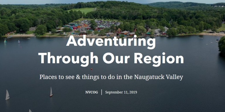
Adventuring through Our Region
A local tour guide from the Lower Naugatuck Valley to the Litchfield Hills to the bedding plant capital of Connecticut with many places to visit!
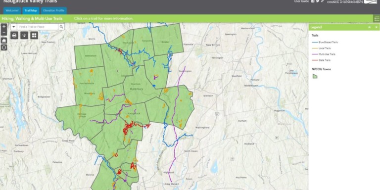
Regional Trails
This interactive map explores the trail network that is in or passes through the Naugatuck Valley Region. This includes walking, hiking, and multi-use trails.
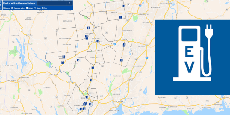
Electric Vehicle Charging Stations
Find a station to recharge your electric vehicle. Click on an icon for more location information. Information is subject to change.
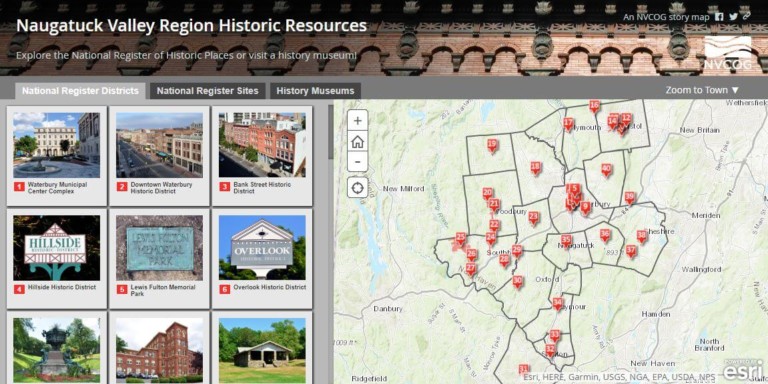
Naugatuck Valley Region Historic Resources
Explore the National Register of Historic Places or visit a history museum in the Naugatuck Valley. Includes links to the original NRHP submission material.
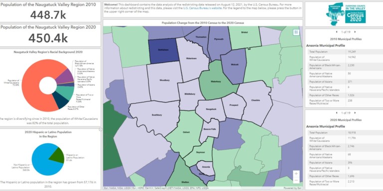
2020 Census Redistricting Data Dashboard
Explore demographic data released by the U.S. Census Bureau for redistricting purposes. Data includes 2010 to 2020 population changes and municipal profiles by race.
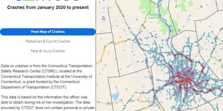
NVision Zero Crash Map
NVision Zero is NVCOG’s transportation safety plan. These maps show crash occurrences by emphasis area.
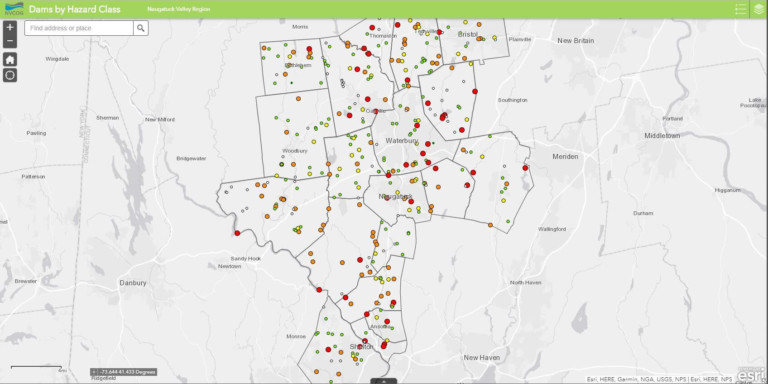
NVCOG Dams by Hazard Class
This map shows dams in the Naugatuck Valley Region with hazard class ranking. The hazard potential ranges from negligible to high.
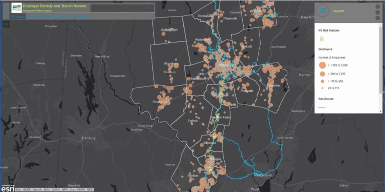
Employer Density and Transit Access
This map depicts the NVCOG regions’ access to bus transit for travel across the region. It highlights system service areas and employer hot spots.
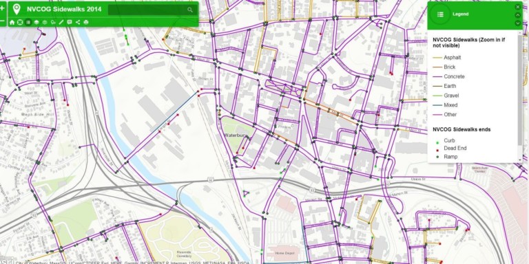
NVCOG Sidewalks
Sidewalks and ramps in the NVCOG region 2014. This includes details on the sidewalk material and the type of ramp where the sidewalk ends.